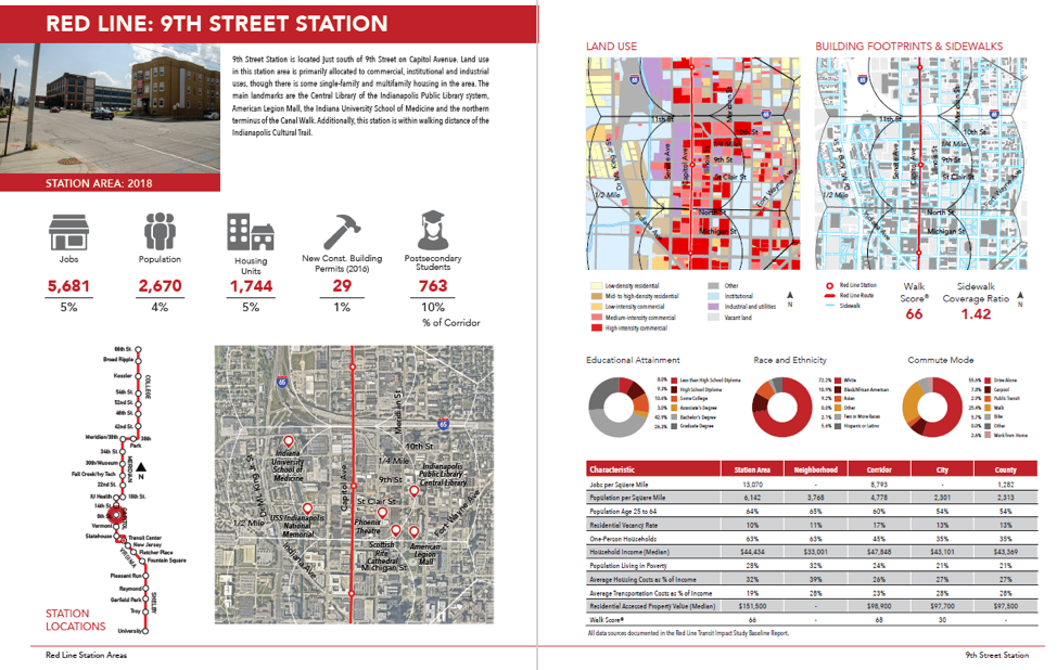
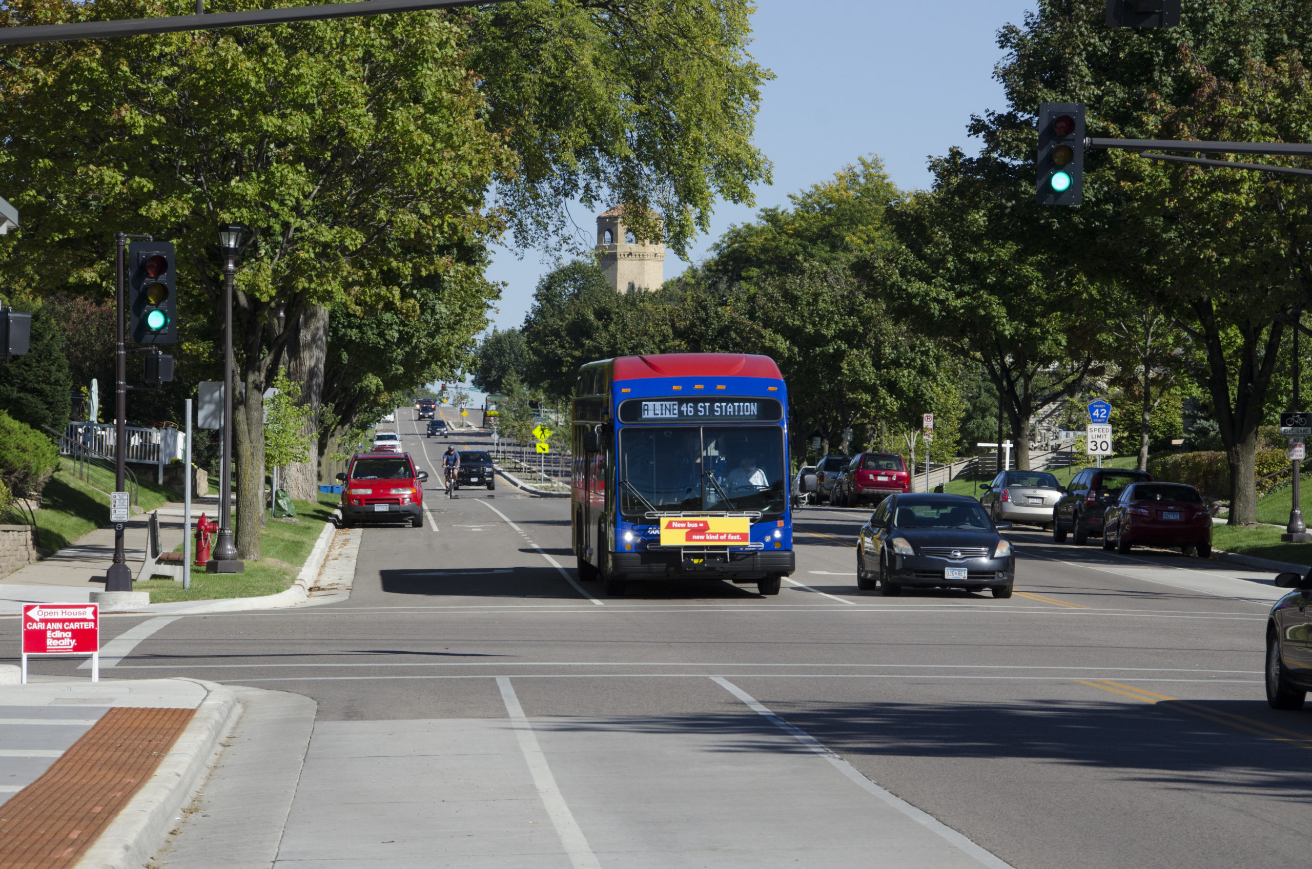
In 2018, the Indianapolis Metropolitan Planning Organization (MPO) sought to complete a Transit Impact Study (TIS) prior to opening day of the IndyGo Red Line. The region’s first BRT line, the 13.1-mile Red Line began service in September 2019. The TIS was designed to go above and beyond a typical FTA Before and After Study and include documentation of economic development, land use, demographics, and traffic operations, in addition to the project’s physical scope, capital costs, transit service levels, operations and maintenance costs, and ridership.
SRF conducted a literature review, developed methodology reflective of project goals, conducted analysis, and documented results for the Red Line corridor and its 28 station areas. SRF worked closely with the MPO and IndyGo to determine the most appropriate measures and methods based on available data and desired outcomes. The analysis included measures of population, households, economic activity, land use, pedestrian networks, traffic and parking, and transit service availability by census block, among others. After coordinating with the MPO, IndyGo, and their partners to collect the necessary data (from 15 sources), SRF used geospatial tools to select, manipulate, and assign data to each Red Line station area and the corridor as a whole.
The Red Line is the first of several BRT lines programmed in the Indianapolis region, and the MPO hopes to complete a TIS for future BRT lines. As such, SRF provided the MPO with extensive documentation of methodology and sources to enable replication for future projects. All data, spreadsheets, maps, and other figures created by SRF were provided to the MPO to enable future analysis.


